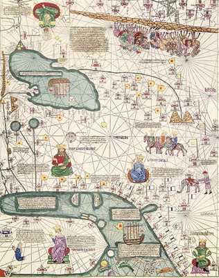
Europe

Middle East

East Asia
 (Highest res.: jpg, max. 1000 x 1000 pixel, 72-300 dpi, file sizes: 150-300 KB)
Ancient world maps


 (Highest res.: jpg, max. 1000 x 1000 pixel, 72-300 dpi, file sizes: 150-300 KB)
Copyright © 2014 • Ancient world maps
Blogger Templates Designed by VeeThemes.com
0 yorum:
Yorum Gönder